![In order to predict the weather for tomorrow, we need to know how it’s evolved over the past days and weeks. To say that local […]](/wp-content/uploads/2015/06/antinque-barometer-450x300.jpg "Weather Observations: A Dying Art?")
In order to predict the weather for tomorrow, we need to know how it’s evolved over the past days and weeks. To say that local climates will change in future decades, we need to look back at conditions across previous ones. So how do we get this information, and how do we know that our predictions are correct?
The answer, of course, is careful observations. Today, the UK Met Office has around 200 carefully calibrated automated weather stations, spaced about 40 km apart around the country, collecting hourly data on rainfall, wind, sunshine and temperature. Many amateurs add to this their own daily observations. European and North American weather agencies employ a similar density of observations posts on land, whilst the weather at sea is observed using permanent buoys and transient ships.
But this observational network is far from perfect. So to distinguish the weather in Oxford, say, from the weather in Reading, we have to forecast at a much higher resolution than 40 km, and the gaps between stations have to be filled in by ‘interpolation’ – essentially, making assumptions about how clouds, rain and temperature vary spatially. This allows us to be able to feed ‘observations’ into our weather models with a sufficient level of detail. But it’s possible that significant clouds and storms could be missed in between the stations and cause the weather to evolve in very different ways to those we predict. Within cities, there have been occasional efforts to introduce much denser groups of sensors so as to be able to track how the strength of the ‘Urban Heat Island’ of elevated temperatures varies across a conurbation. But in general weather stations are not located within cities precisely because of this and other less predictable effects that urban surroundings have upon measurements. It’s no wonder, then, that today’s hour-by-hour weather forecast, let alone tomorrow’s or next week’s, is rarely exactly on the mark for any specific town or city.
There are yet more problems when it comes to tracking long-term climate changes. Over time, a station’s environment may change, such as when buildings are constructed nearby, and the instruments themselves may have to be replaced. These alterations aren’t always noted down, and give rise to inconsistencies that can completely swamp slight changes in the average conditions over years or decades that scientists are trying to track. In less industrialised parts of the world, the density and quality of observations are even worse. There are not many more than a thousand weather stations operating across the entire continent of Africa, an area more than a hundred times greater than that of the UK, and the number is falling. Many stations are badly maintained, and the quality of their data is becoming increasingly dubious. But such poor regions are precisely the places where the weather is most extreme, climate change will have its biggest and least predictable impact and ways of life are especially vulnerable to disruption.
You might think that satellites would provide an answer. But whilst low-orbit weather satellites can observe large areas at once, their temporal resolution is poor as they typically only orbit the Earth once every few hours. They are indeed very important for forecasts because they can see approaching weather systems in the form of clouds. But these same clouds obscure observations of the surface, automatically rendering satellites incapable of directly measuring rainfall. Nor can they tell us the temperature of the air – which is what we’re usually interested in – only that of the ground beneath. To better constrain our models of weather and climate, we therefore need many more near-surface observations. But we also need to make better use of the vast amount of data that has already been collected, much of it in yellowing paper archives, right across the globe.
Little did they know, when the sailors of the nineteenth and early twentieth centuries lowered their special buckets into the oceans to make temperature measurements and weather enthusiasts carefully noted down daily records of temperature and rainfall for decade after decade, that this bank of information would prove so useful. Whilst we can’t directly test our models’ forecasts about the climate in future decades, we can gauge the likelihood that they are accurate by using such records to assess how well those models produce so-called ‘hindcasts’ of climate in the past.
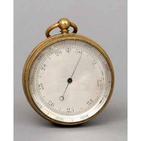
Today’s digital, computerised measurements may be convenient but they are not necessarily more accurate than those made by our dedicated forebears using far more elegant machines. In fact, automated weather stations simply can’t record some of the useful data collected by eye by the human observers of the past, such as overall cloud type and cover and the presence of thunder. Over time, therefore, not only is the art involved in weather observations declining, but, with the rise of the computer and as amateur manual observers die out, the comprehensiveness of our measurements is also falling. Yet, because of climate change, an appreciation of how Earth’s climate used to be has never been more important.
So how can we solve the complex knot of problems with weather and climate observations? Undoubtedly, improving the coverage and resilience of our global automated observing network will lead to more consistent and reliable pictures of local and global conditions in the future. But an effort also needs to be made now to reverse the decline in manual observing and to preserve and garner information from the manual records of the past if we are to have the best hope, when climate change comes, of having even an inkling of what to expect.